Still Guessing Your Way Through Land Planning?
Boundary disputes, unclear access, zoning surprises, and poor sales?
Fix it before your next launch.


5 Developer Headaches
We’ve Seen Developers Face These 5 Headaches Again and Again:
Bought land but later found access or boundary issues
Had to redo plans because the survey didn’t match the actual site
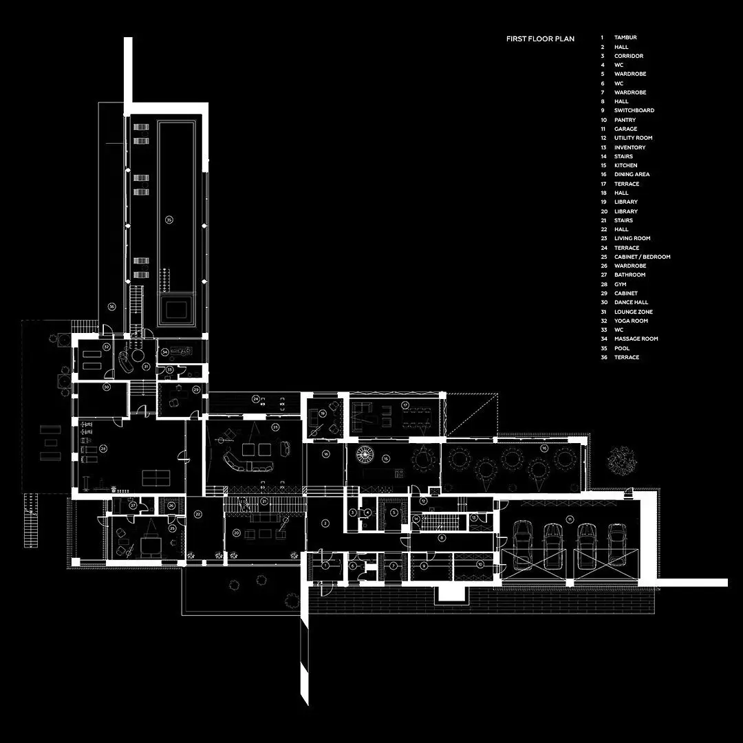
Clients doubted plot sizes or couldn’t understand the layout
Clients doubted plot sizes or couldn’t understand the layout
Sales slowed down because people couldn’t “see” the site clearly

You Need This
|
Clear Site Boundaries |
|
Proper Road & Plot Planning |
|
Faster Architect Inputs |
|
Avoid Zoning Trouble |
|
Client Trust & Sales |
So We Deliver This
|
Verified drone + physical survey (DGPS) |
|
High-resolution map with contours |
|
CAD-ready map with correct dimensions |
|
Zoning + CRZ overlays mapped digitally |
|
Virtual tour of your layout on one link |
Not Sure What To Ask For?
Here’s What Smart Developers Ask Us For:
✅ “Can you map this land and verify its access and boundaries?”
✅ “Can you check the road width and slope before I finalize the layout?”
✅ “Can you give me a map my architect can use directly in CAD?”
✅ “Can you help me get clarity before I buy this land?”
✅ “Can I use this to show clients how the site looks?”
You don’t need to know the tech terms.
Just tell us your challenge and we’ll map it, measure it, and solve it.
🔎 Explore your project like Google Earth
…but with real, accurate data.
Explore Our Digital Map
- Verified Site Map
- Plot Layout with Digital Layers
- 360° Walkthrough
- Zoning Overlay Demo


Let’s Talk About Your Site
Share your site location.
We’ll show you how we can help no obligation.
Contact Us
We'd love to hear from you! If you have any questions, feedback, or need assistance, please feel free to reach out to us using the contact details provided. Our team is here to help and will respond as soon as possible. Thank you for getting in touch!

Phone
+919588475585